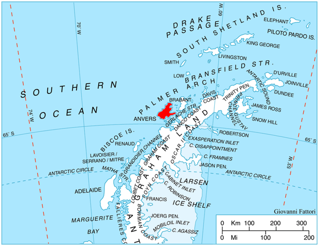
Continuing my journey aboard the British Antarctic Survey ship, RRS John Biscoe, in 1982, we left James Ross Island, heading around the Antarctic Peninsula towards Wiencke Island in the Palmer Archipelago of Antarctica. Our first destination was to be Damoy Point, a transit point, where personnel and stores were unloaded and then flown further south to the BAS research station, Rothera (Station R).
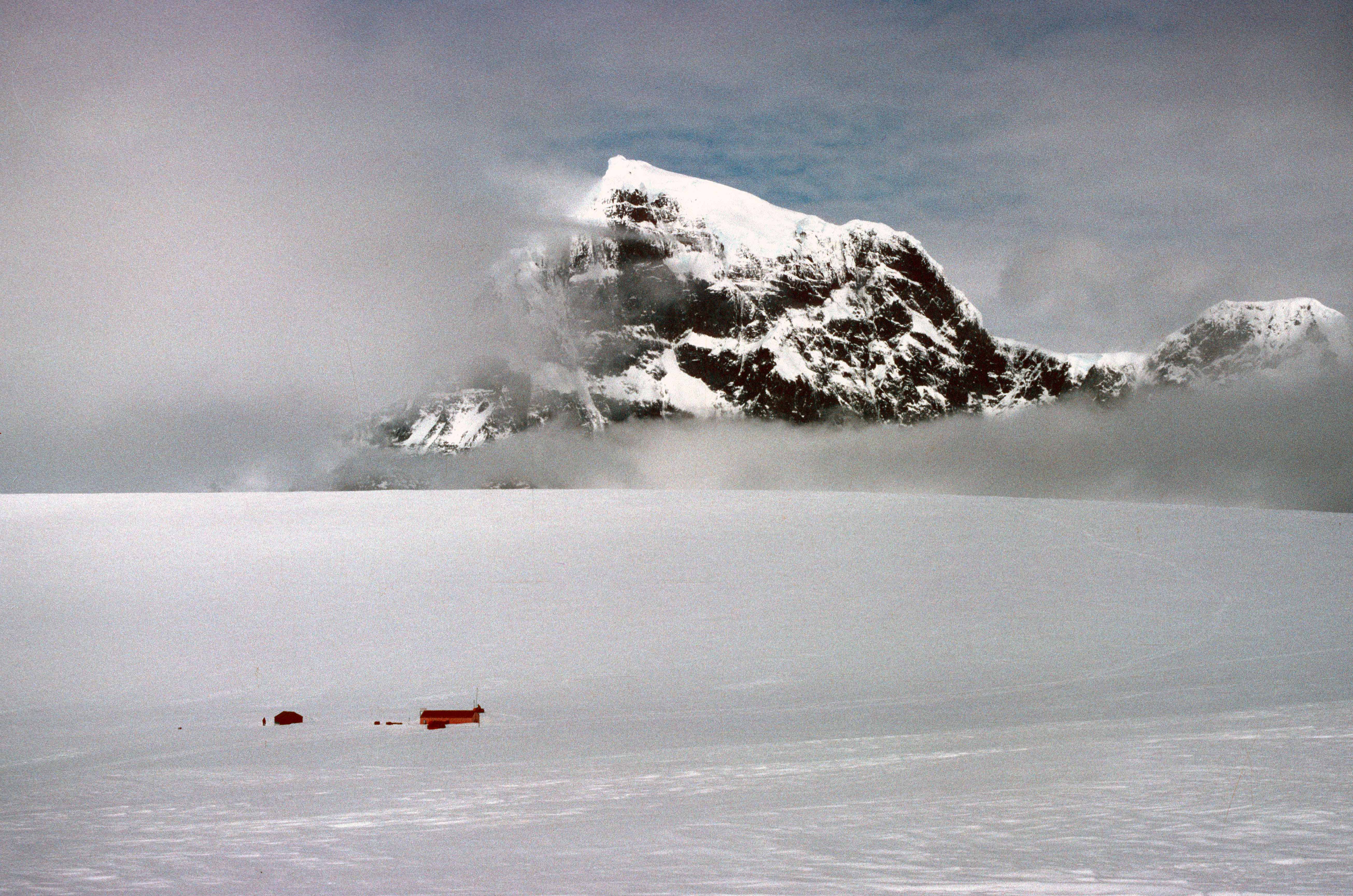
There was very little to see at Damoy (64 deg and 49 mins south) just two tiny little huts (above) and a temporary snow runway on the glacier above (see below).
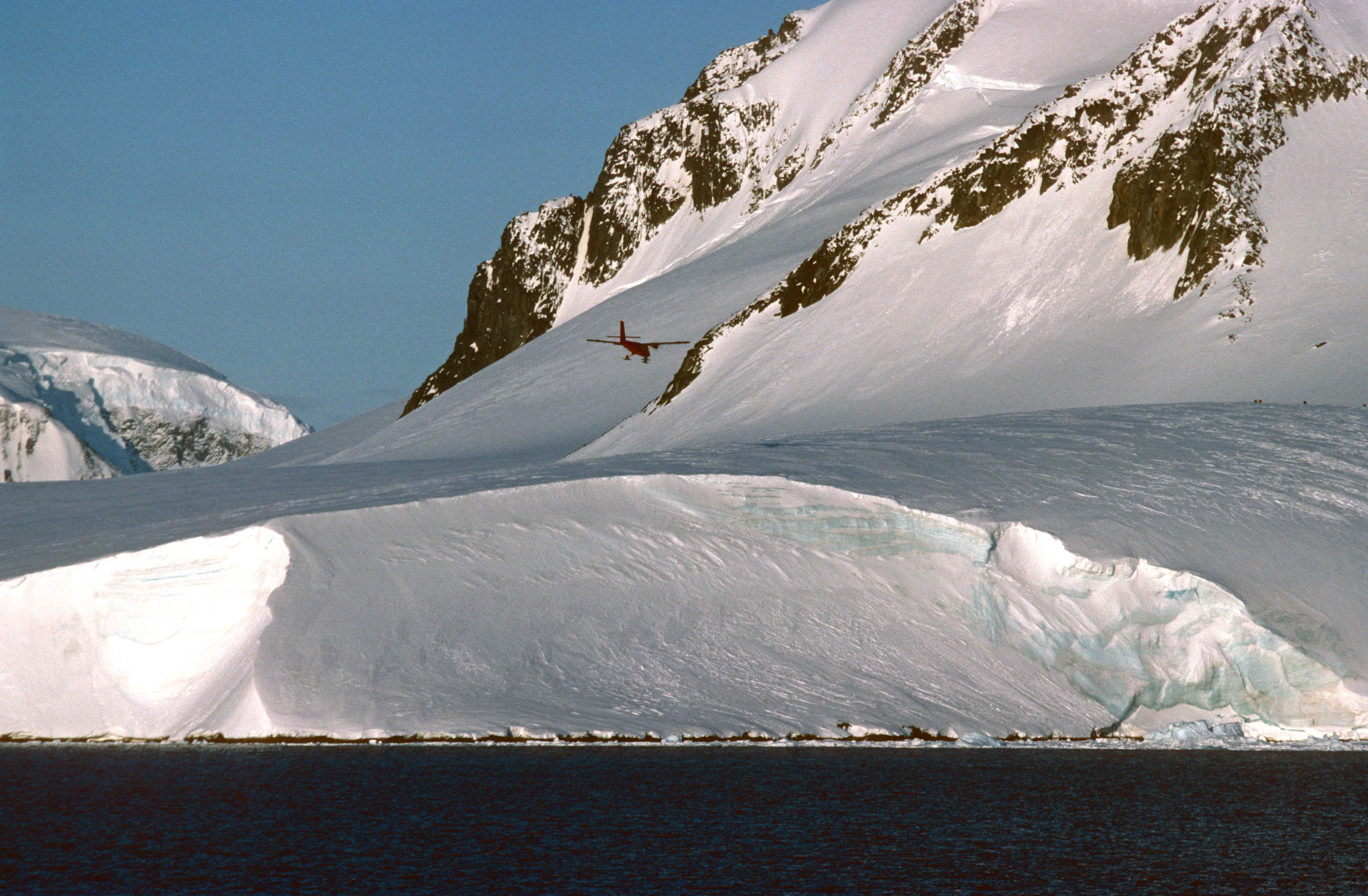
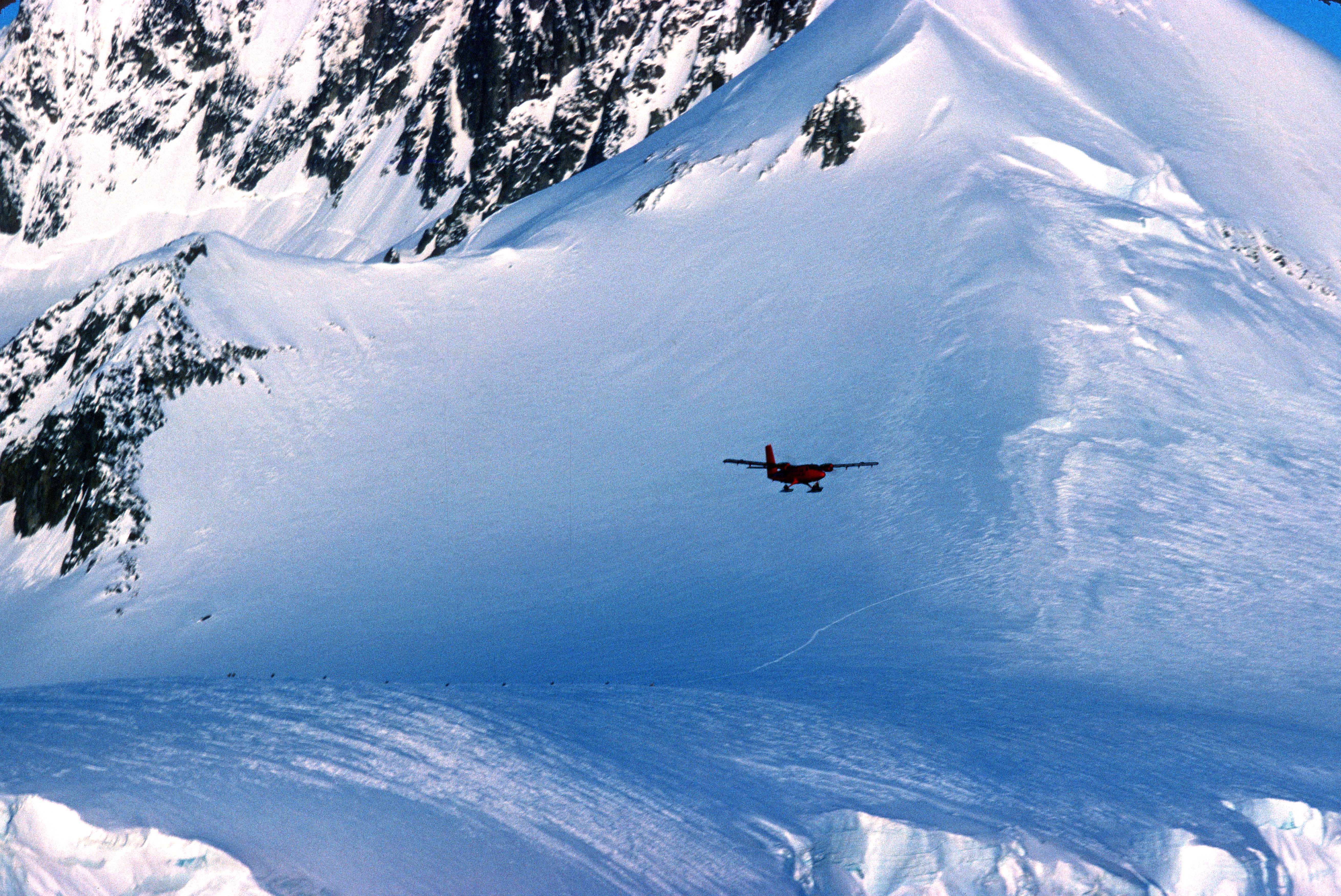
It was not possible to sail all the way south to Rothera (67 deg 34 mins) this early in the season, due to sea ice, so people and supplies were flown down by aircraft. The De Havilland Twin Otters (below) flew down from Canada every season, all the way down South America and across the Drake Passage to the Antarctic Peninsula.

It was amazing to see these little, but highly versatile, planes landing on the ice above the huts, on the 400m skiway which ran along the spine of the glacier (below). All they needed was a row of red fuel drums to mark out the landing site.
The Damoy Point hut was established in 1975 and used until 1993/94, I think. After that date, the British Antarctic Survey started flying directly from the Falkland Islands to Rothera base (which is now Britain’s largest research station), so the Damoy Air Facility was no longer required. The hut is now designated a Historic Site and Monument, and is visited by cruise ships, I understand.
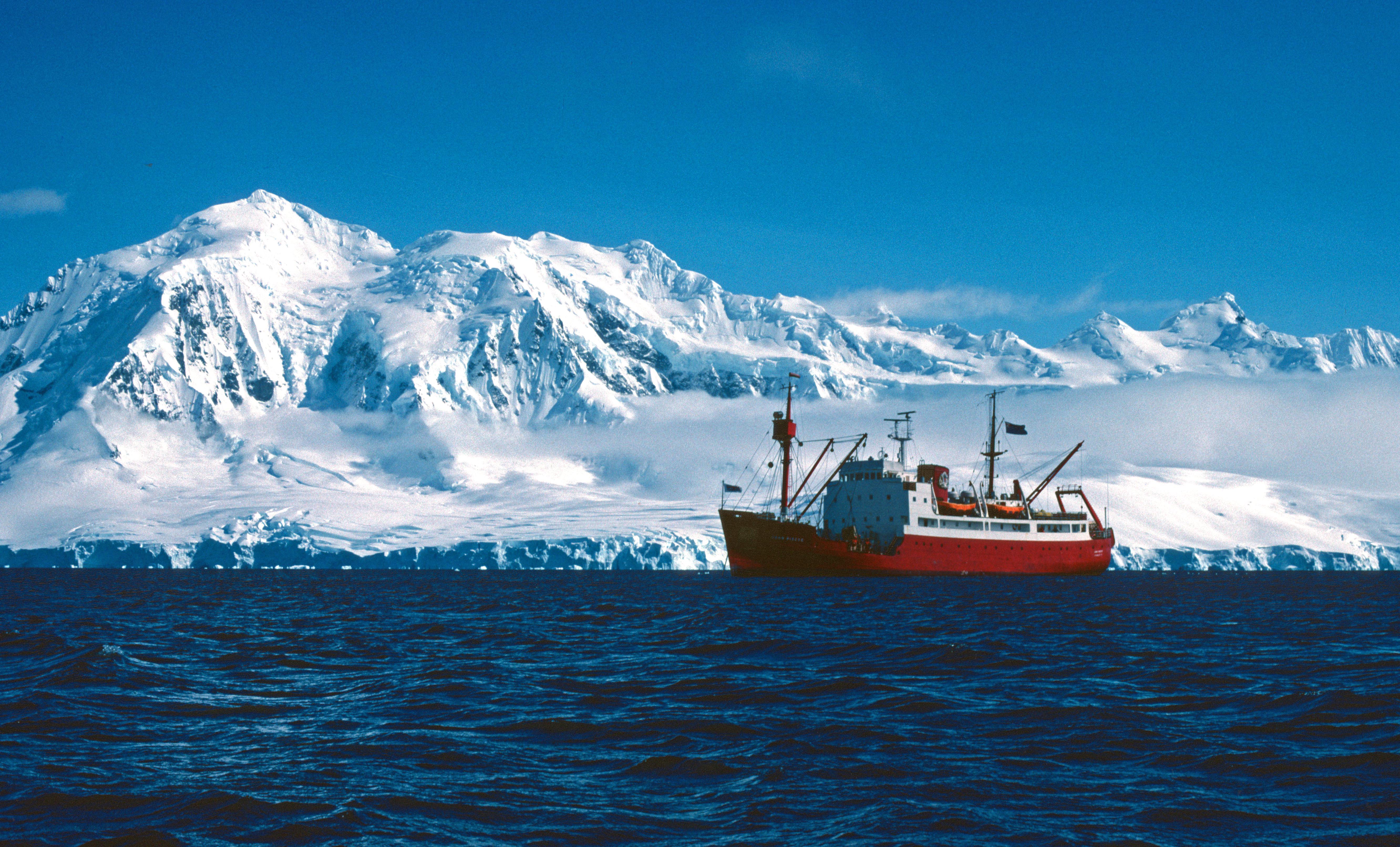
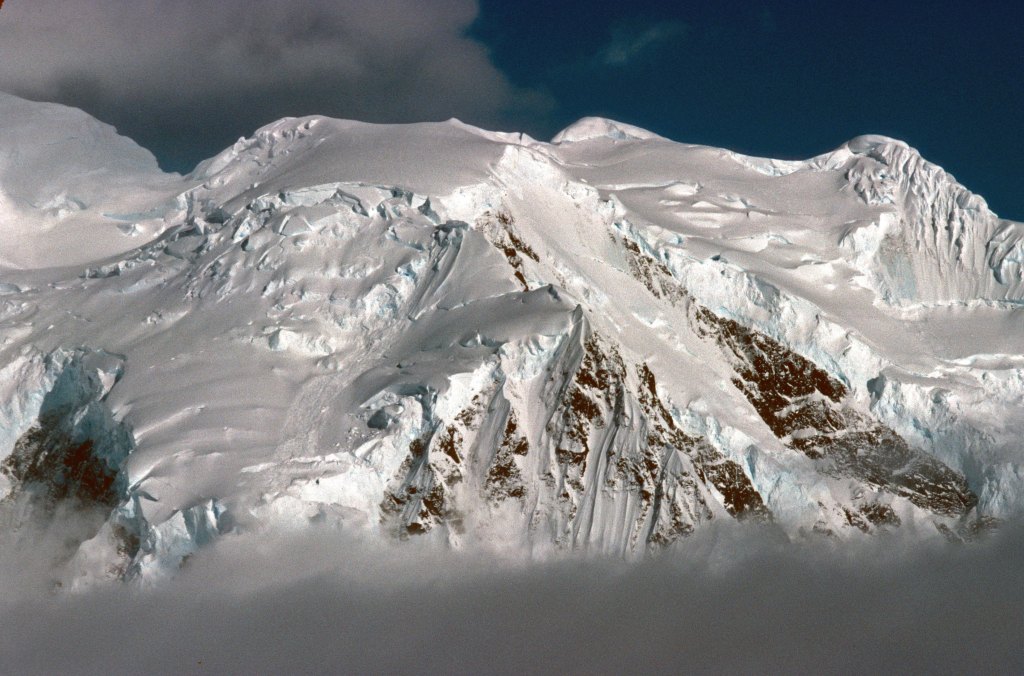
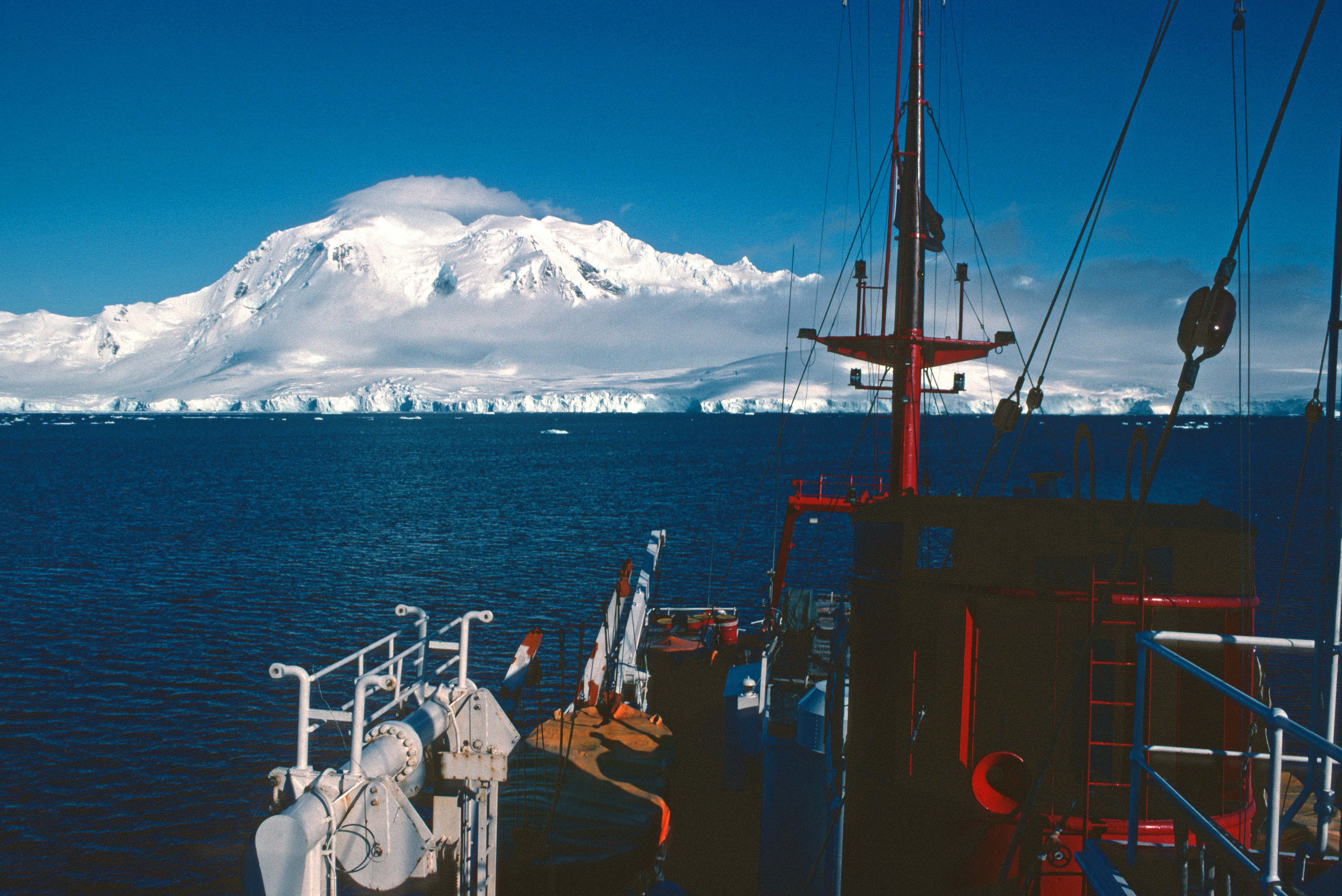
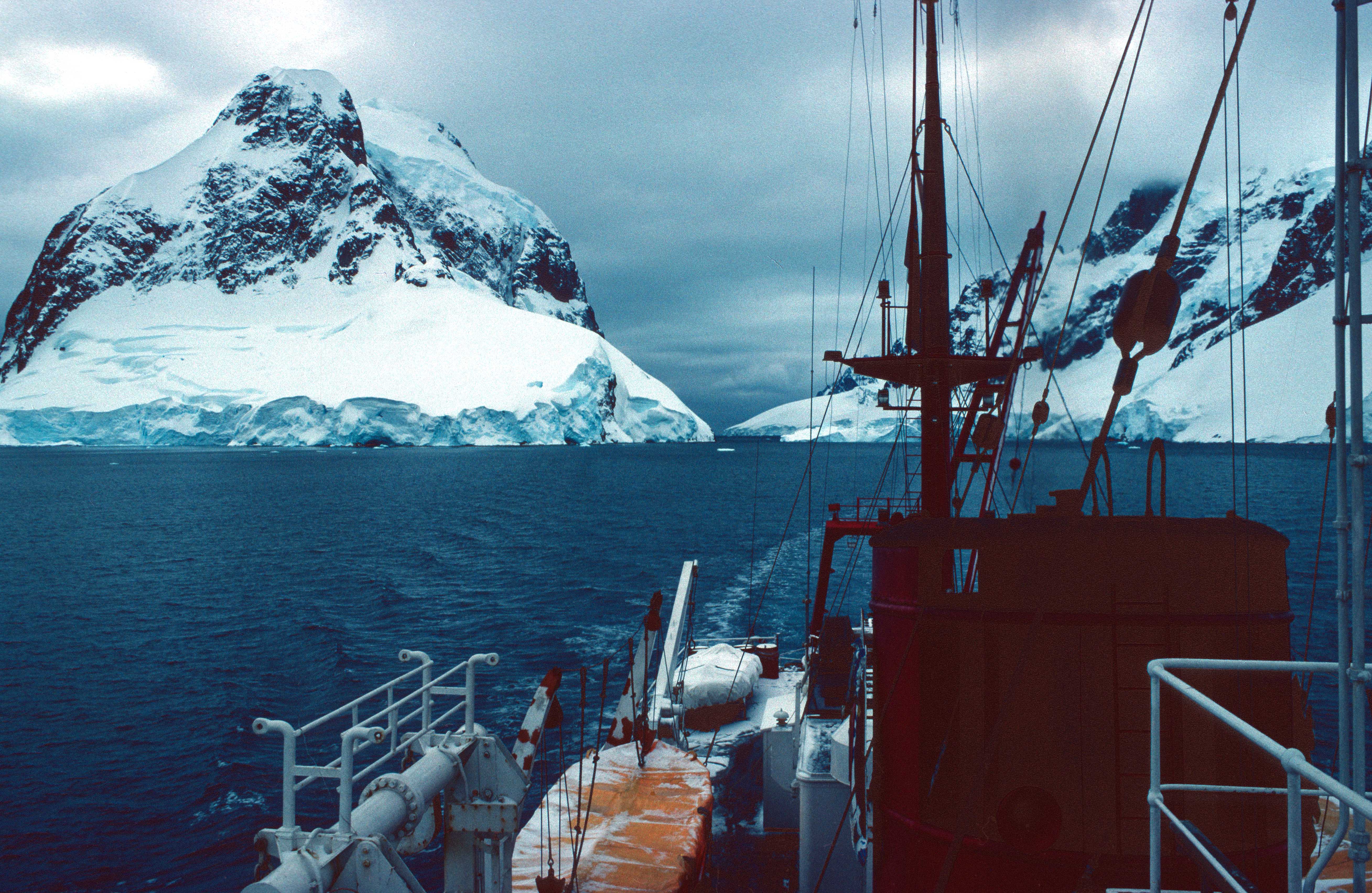
The location off the west coast of Wiencke Island, Antarctic Peninsula, was a beautiful place (above). Mount Français (2,760 m), on Anvers Island (below) loomed above the ship.
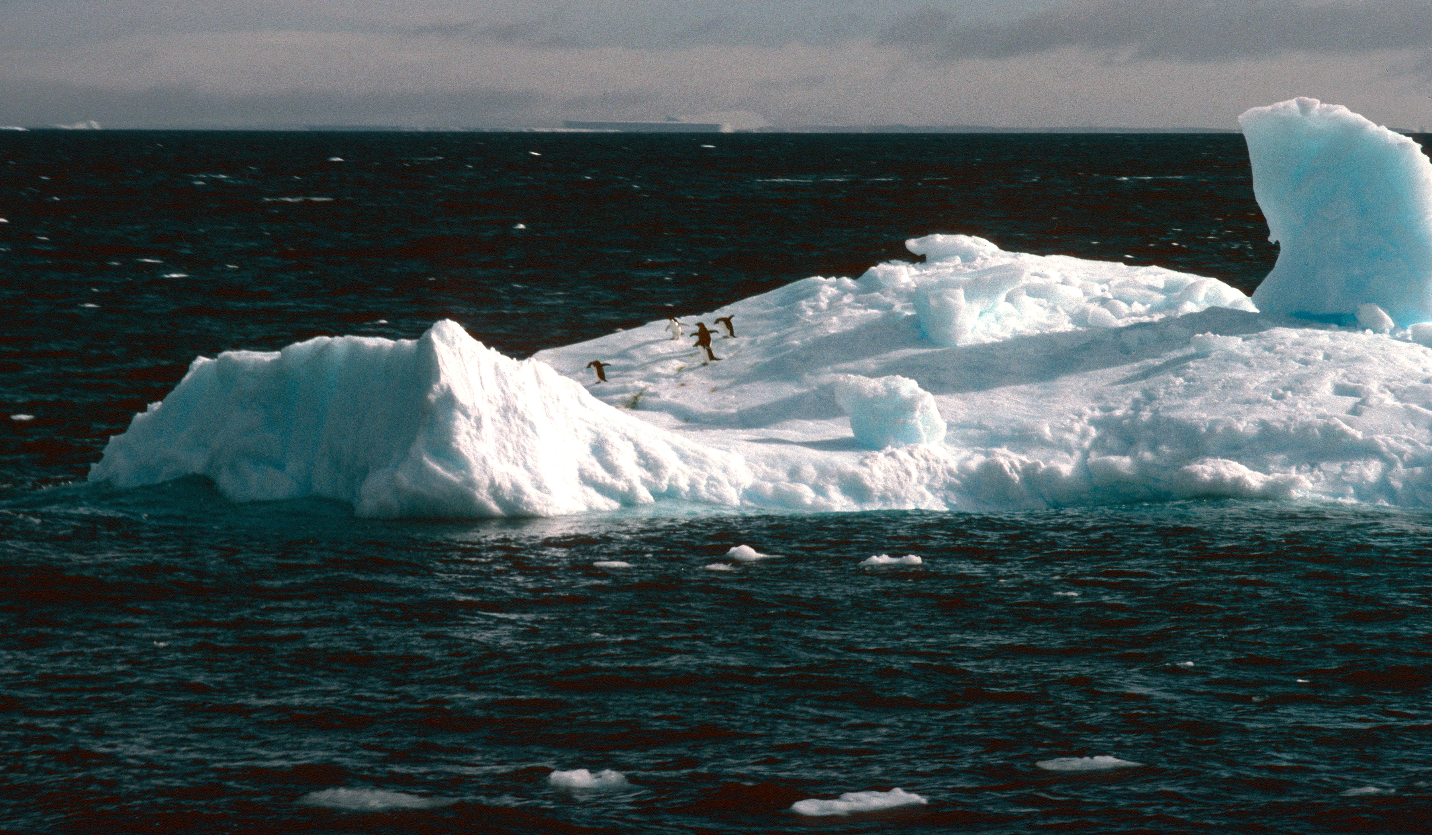
One of the nice things about arriving at Damoy Point so early in the austral season (10th Nov), was that the penguins had only just returned to their colonies (below).
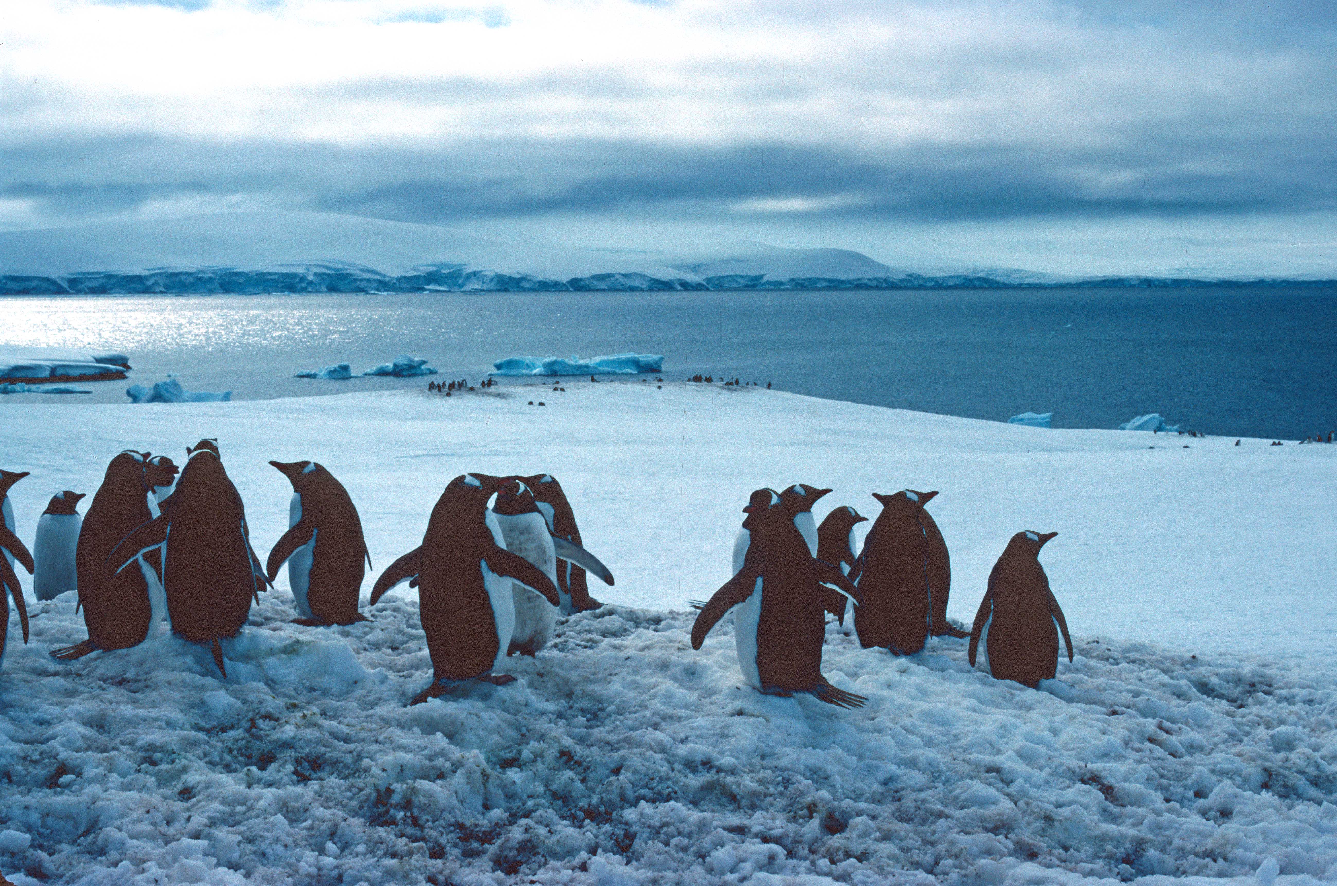
Gentoo penguins (Pygoscelis papua) are probably my favourite penguin and it was interesting to see them standing around on their colonies, waiting for the last of the snow to melt away.

After dropping off the people heading further south by plane, we also set a southerly course, heading for the BAS base, Faraday Station (Station F), about 40 nautical miles away. This short journey took us through one of the most spectacular places on the Antarctic Peninsula: the Lemaire Channel (below).
The Lemaire Channel is a narrow strait between the Kiev Peninsula and Booth Island, and is affectionately known as “Kodak Gap” because everybody who visits takes pictures here. It’s not hard to see why, although I have had to include a modern photograph (below) to illustrate the stark beauty. It was rather a dull day when we sailed though in 1982 (above).

The Antarctic Peninsula is a vast area of stunning natural beauty, and not surprisingly many cruise ships visit the islands and wildlife sites along this finger of land and ice. In 1982, one of the few passenger ships to visit this area was the MS Lindblad Explorer, which I had the pleasure of going aboard a few times (in 1983/84). Since then, cruising to the Antarctic has taken off so to speak (at least it had prior to the current Covid-19 pandemic). At least 50 different cruise ships, of all shapes and sizes, visit the Antarctic each year, taking some 45,000 people (perhaps less, numbers vary). It’s not hard to see why as it is undoubtedly the most beautiful and unspoiled area in the world. But it is also fragile, and the land and wildlife need protecting and managing to ensure that it is not despoiled by the many threats – climate change, irresponsible tourism, invasive species, over-fishing, mineral exploitation etc. – that an expanding human population pose to it.

Fore previous blogs on this journey, see:
1) Journey to the Antarctic: 1) Southampton to the Falkland Islands (1982)

Leave a comment