
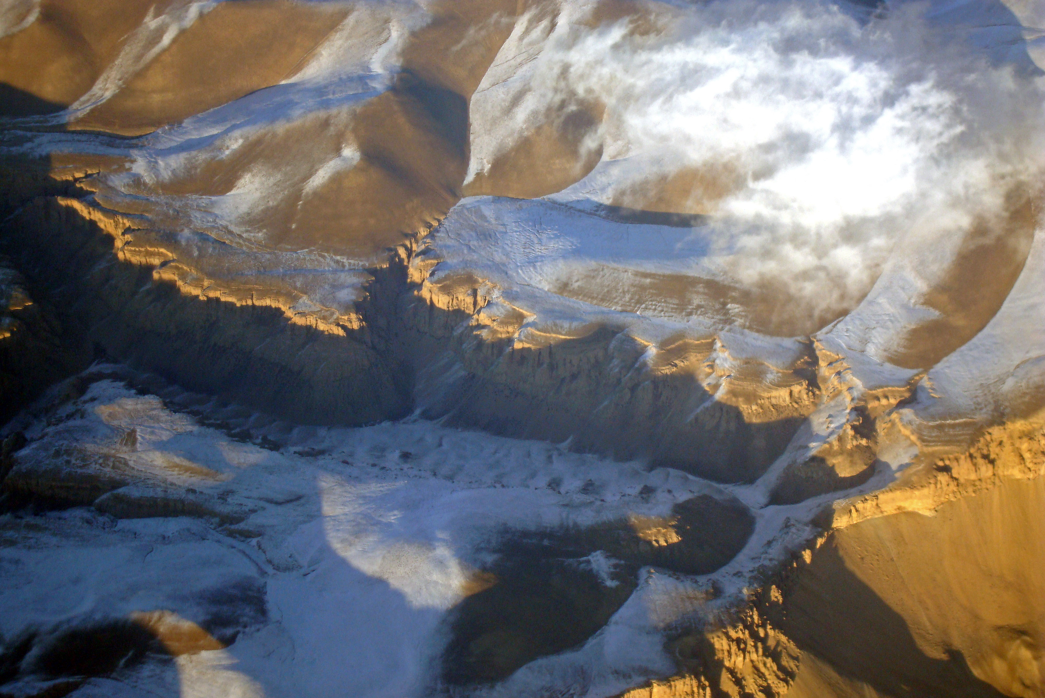
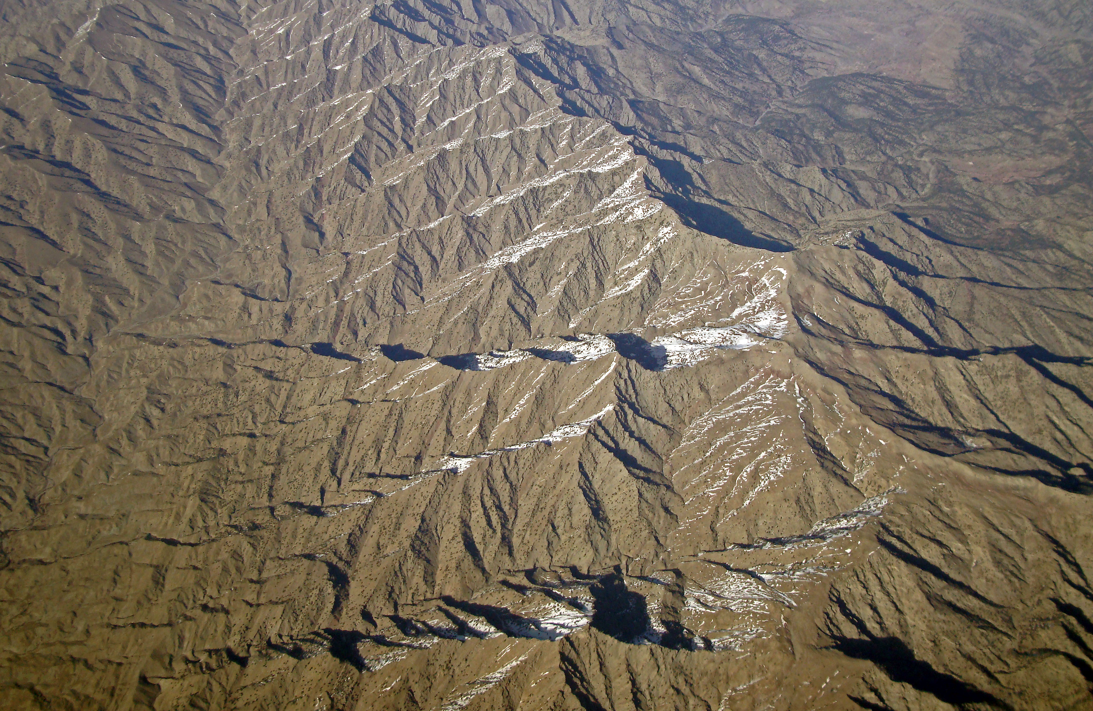
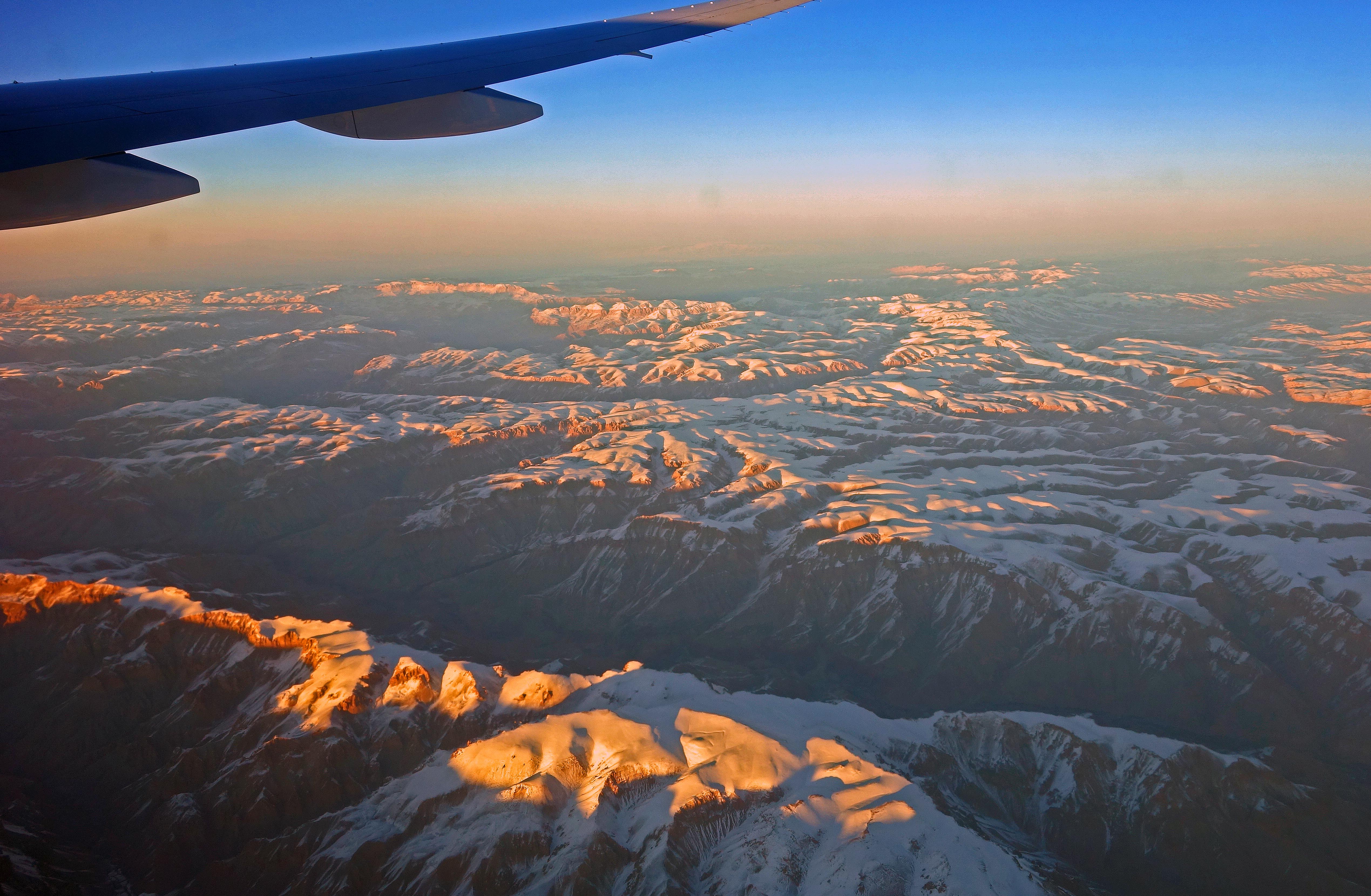
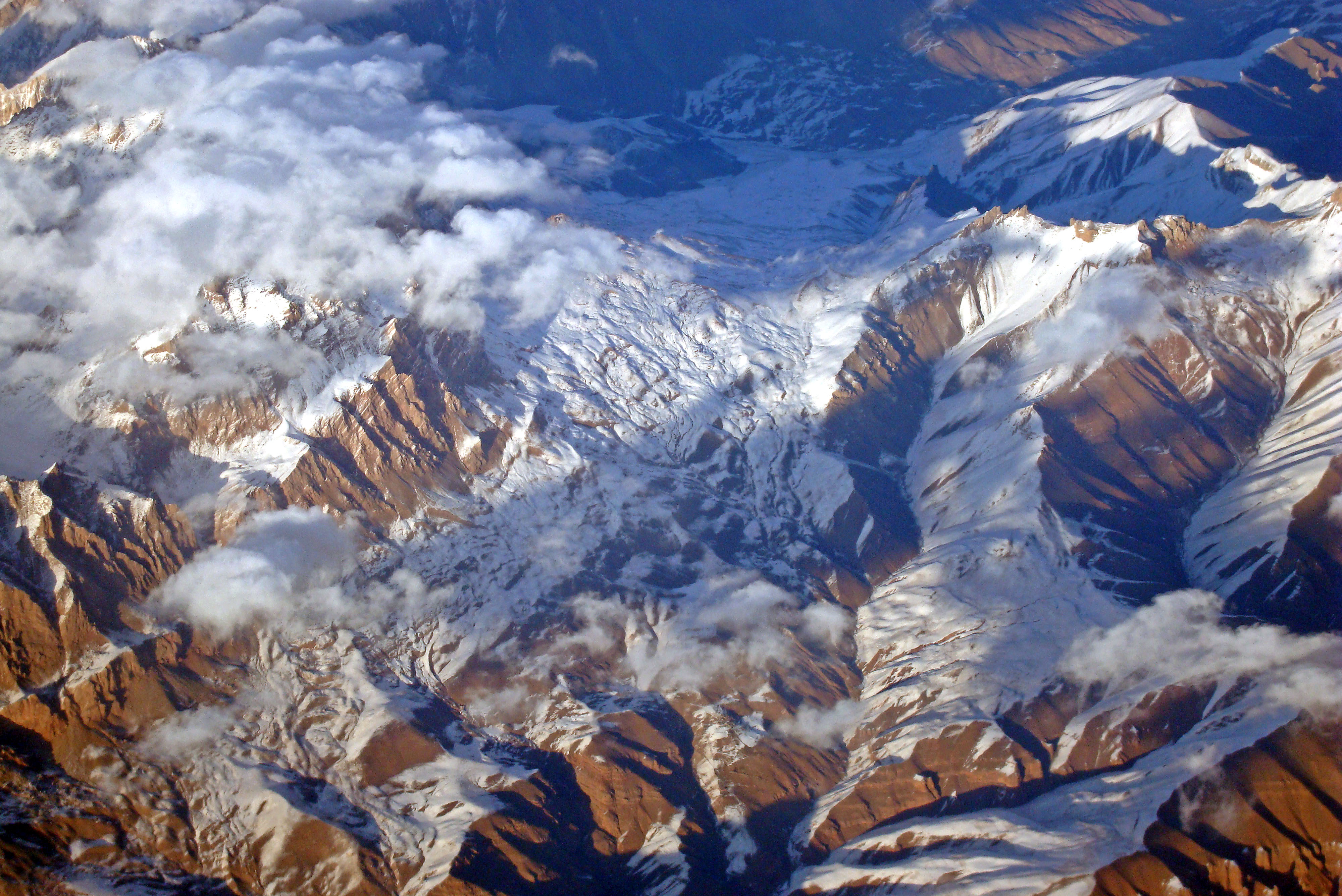
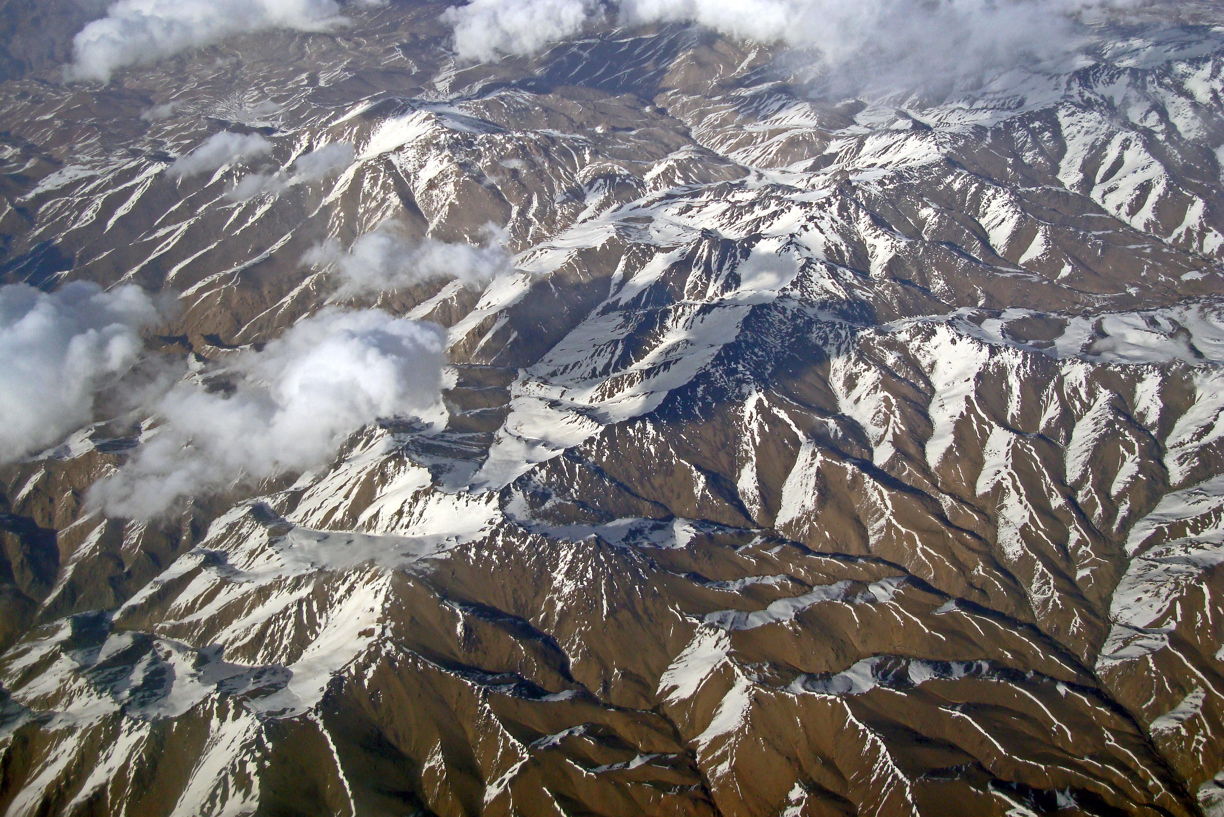
I have flown over Afghanistan many times – probably too many for the health of the planet – on the way to countries in South East Asia, and back. When conditions have permitted, I have stuck my compact camera against the window and grabbed some shots of the amazing mountain scenery.
Looking back at some of these images (which date from 2008 and 2015) I am struck by how beautiful this war-torn country looks from 35,000 feet. So I have chosen some of the better ones and sharpened them up slightly.
Flights on great circle routes from Bangkok, Kuala Lumpur and Singapore, to London, have, in recent decades tended to fly on a route which (going West) passes from India, across Pakistan, Afghanistan and over the deserts of Turkmenistan. One tends to be awake on daytime return flights.
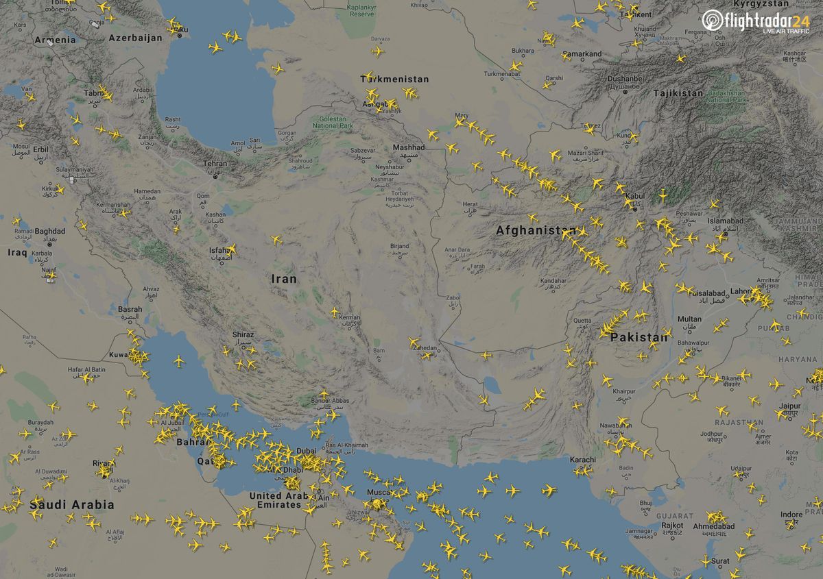
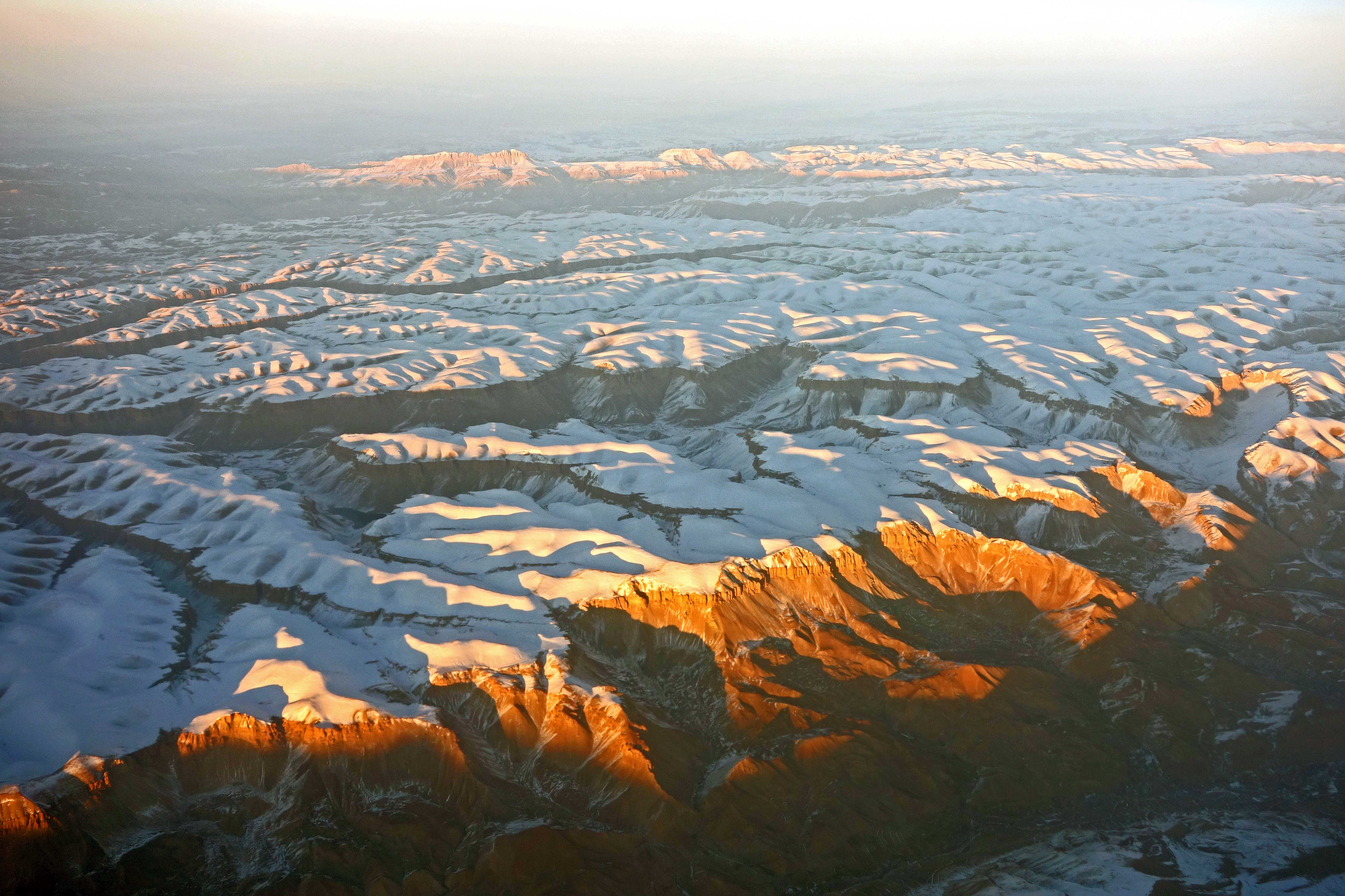
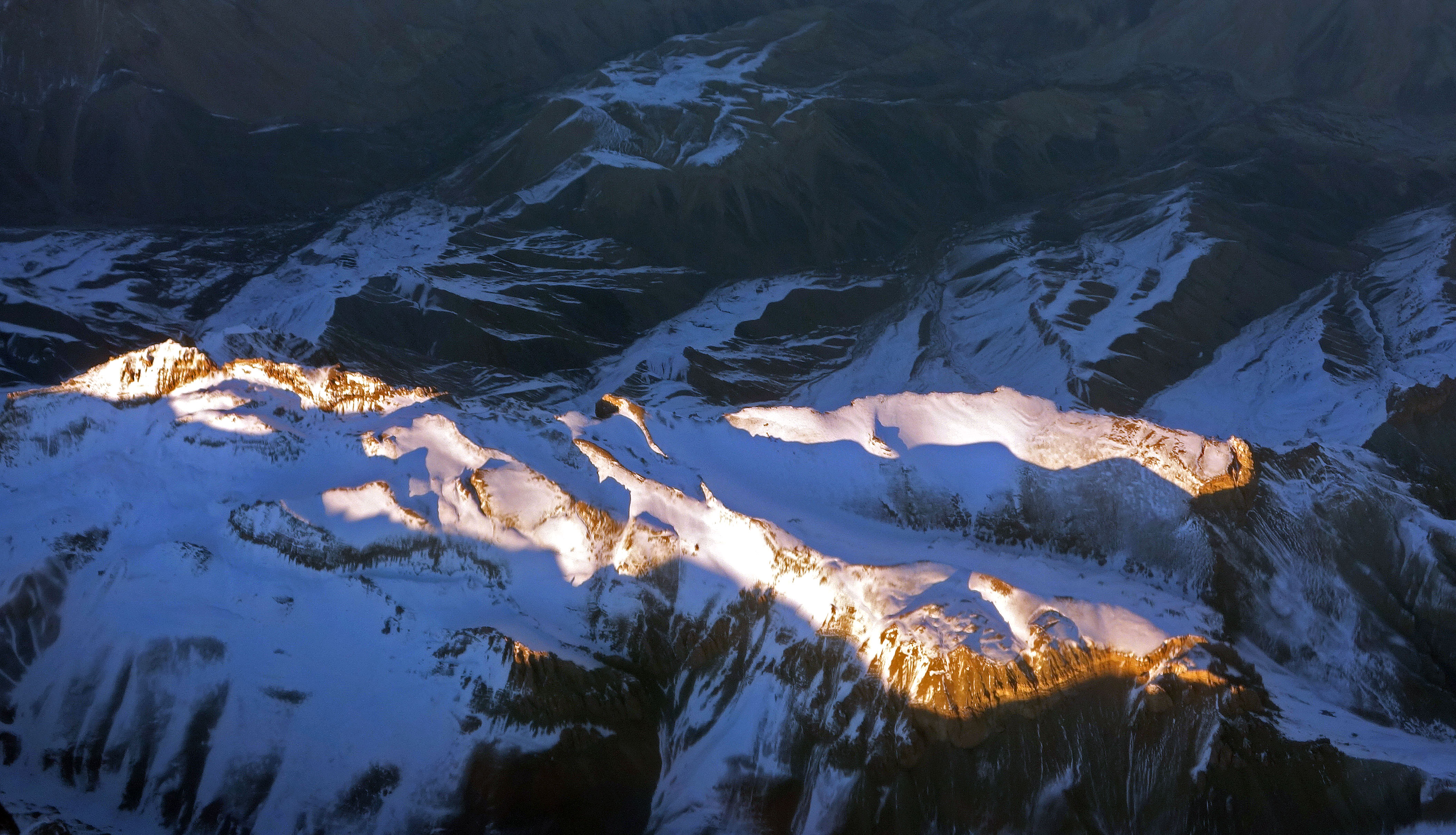
Of course, individual flight paths vary, so it is not easy – especially after a long passage of time – to determine exactly what one was seeing out of the window. Nevertheless, the map shows that this route passes over the Central Highlands to the west of Kabul. These mountains are an extension of the Hindu kush system and diminish in height as they stretch westward. Nevertheless, toward the middle, near Kabul, they still tower up from 4,500 to 6,000 meters; whilst further west, they attain heights of 3,500 to 4,000 meters.
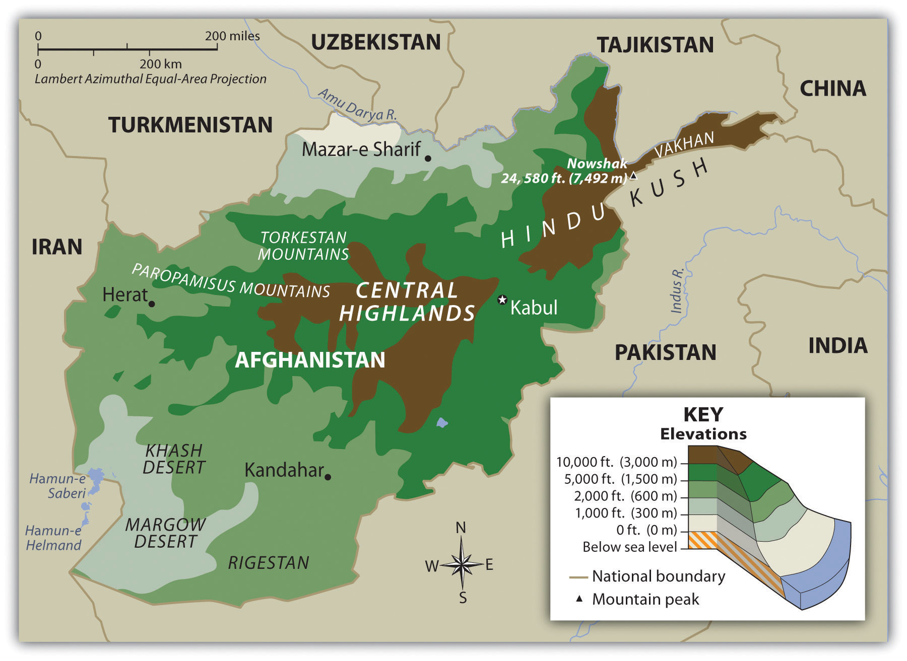
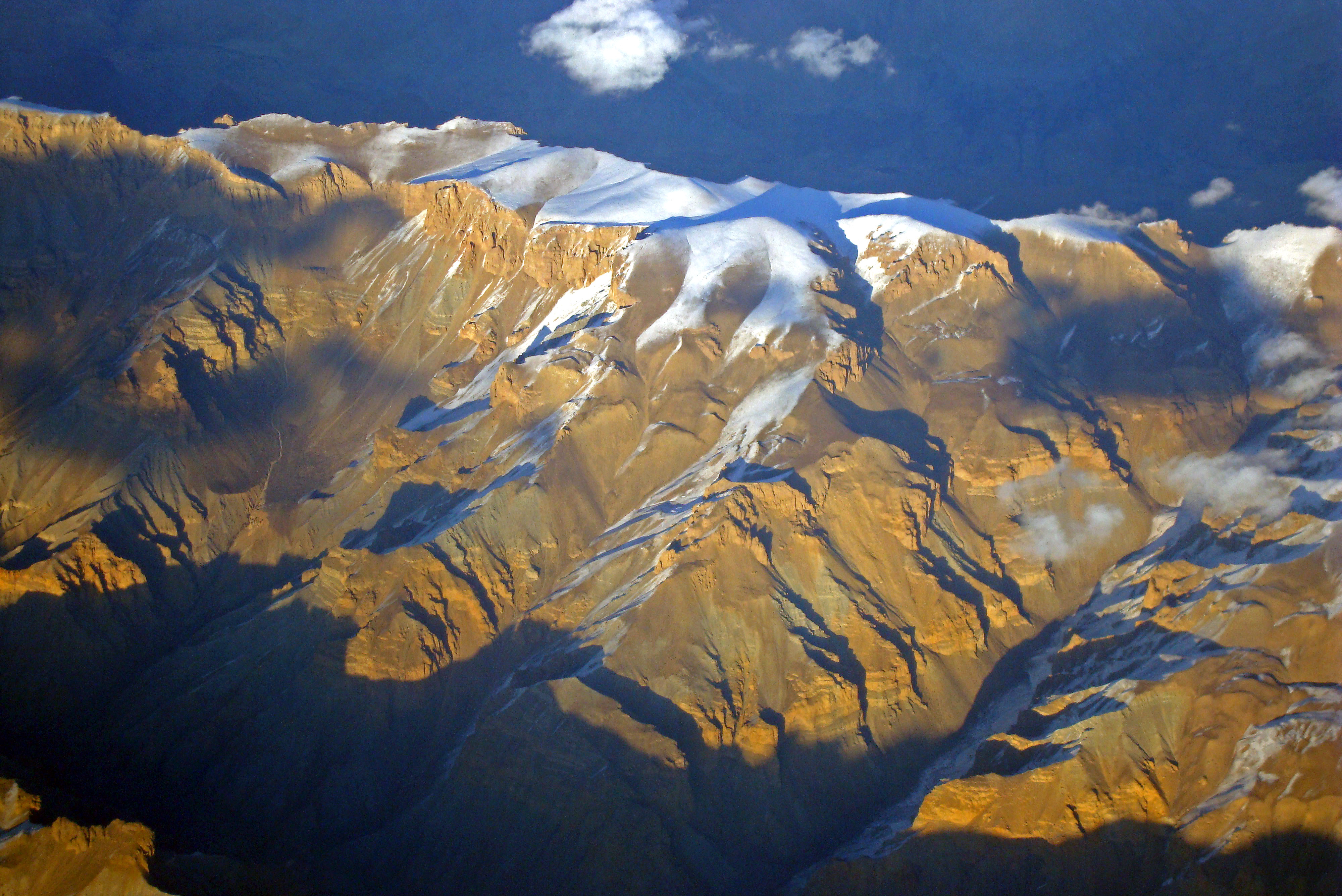
The highest mountain in Afghanistan, Noshaq, is the second highest peak of the Hindu Kush Range at 7,492 m (24,580 ft), and is situated on the border between Badakhshan Province in Afghanistan and Pakistan’s Khyber Pakhtunkhwa province. I.e. to the north of these flight routes.
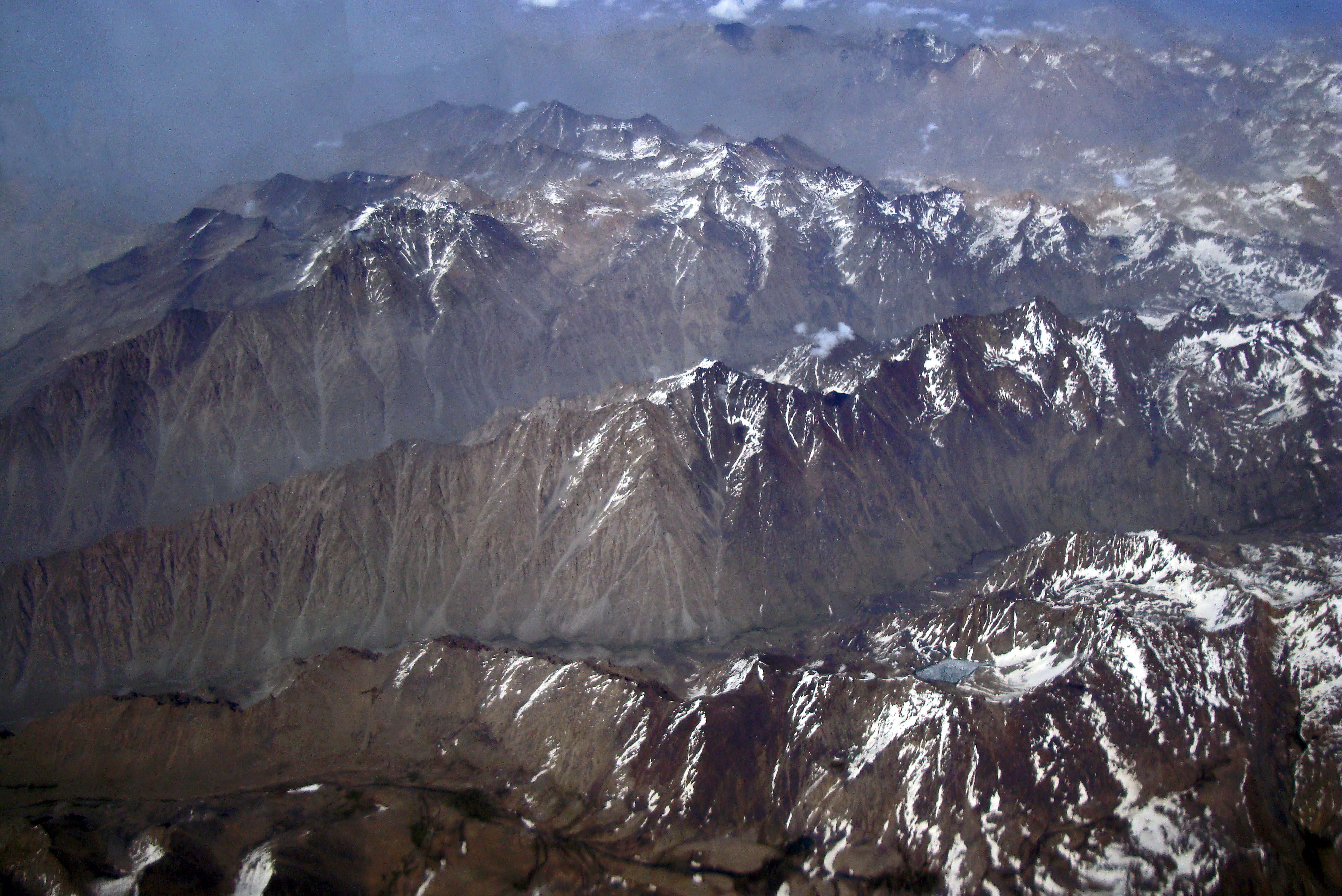
I am always excited to see amazing geographical features from the air, and my heart sinks when the air stewardesses move through the cabin closing all the window shutters, so people can sleep. I am also surprised that more people are not as excited as I am to look down upon these natural wonders!
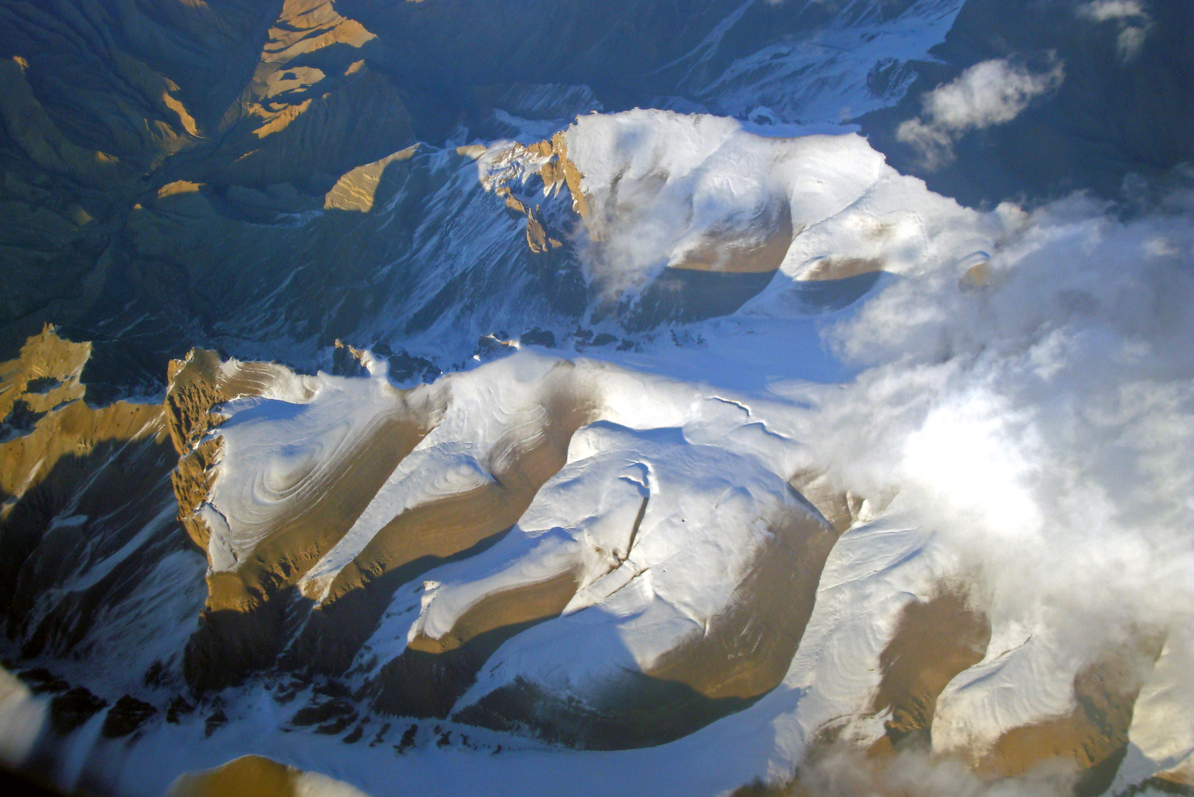
There is no doubt in my mind that Afghanistan must be a spectacular country to visit, were it not for the rather considerable security considerations.
I am just about old enough to remember the hippies going to India on the Hippy Trail. Old, brightly painted buses, full of marijuana-puffing hippies passed through Iran and Afghanistan on their way to India, and back! One of the consequences of this hippie culture was the Afghan coat, a long sheepskin coat with fleecy collars and sleeves. I never had one!
The hippie trail came to an end in the late 1970s, largely as a result of the Iranian Revolution and the Soviet invasion of Afghanistan. Alas, things have not really improved since then, and only between 15,000 and 20,000 tourist visas are issued annually, according to this Wikipedia website on tourism in Afghanistan.
Nevertheless, were it to become safe again, I am sure a lot of people would love to visit this country and see it’s amazing geography and meet the people.
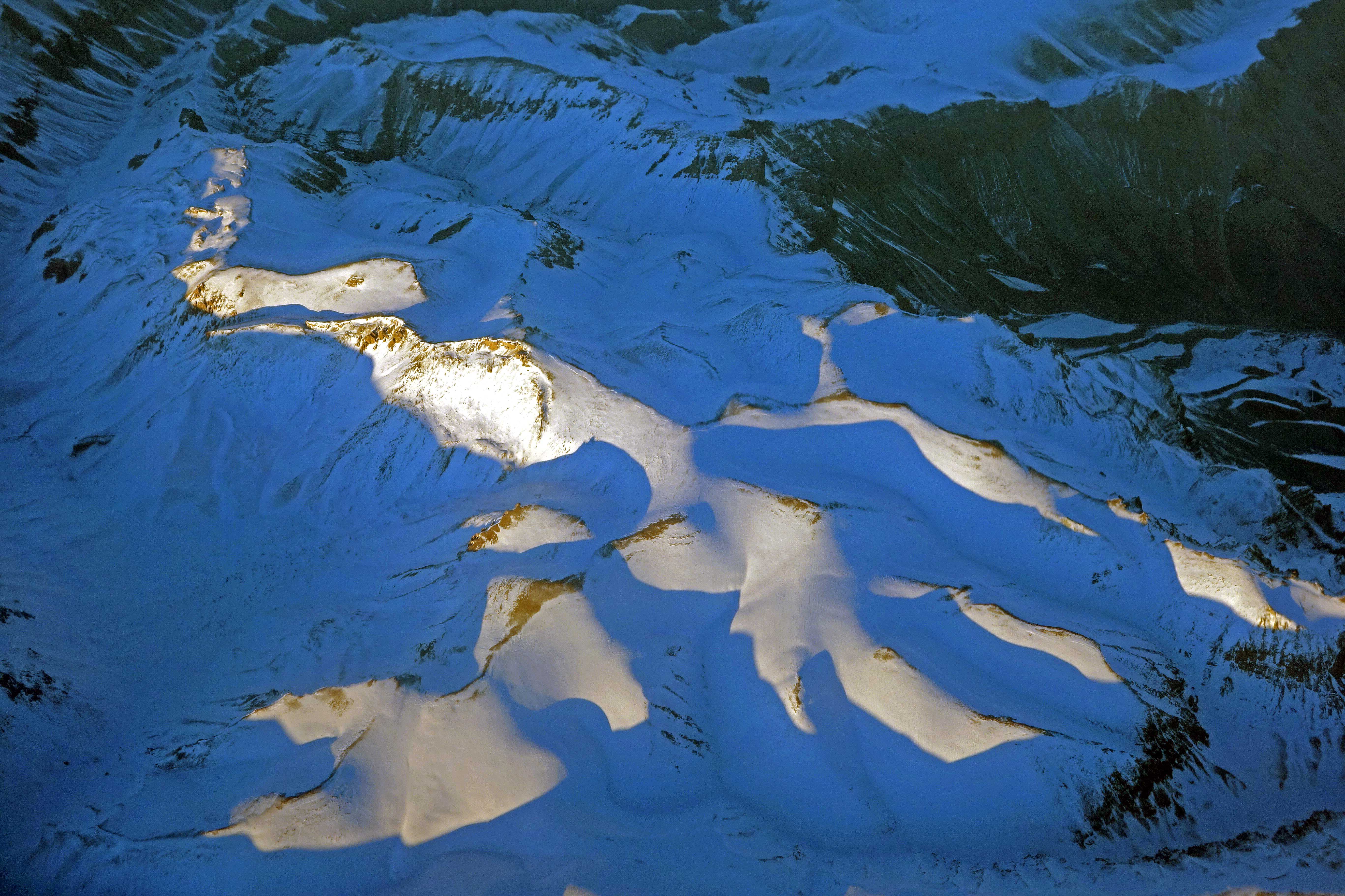
I will finish with one photo of an extraordinary feature , which I remember looking down on, and being awestruck: a giant canyon (below) that seemed to be as large as the Grand Canyon.
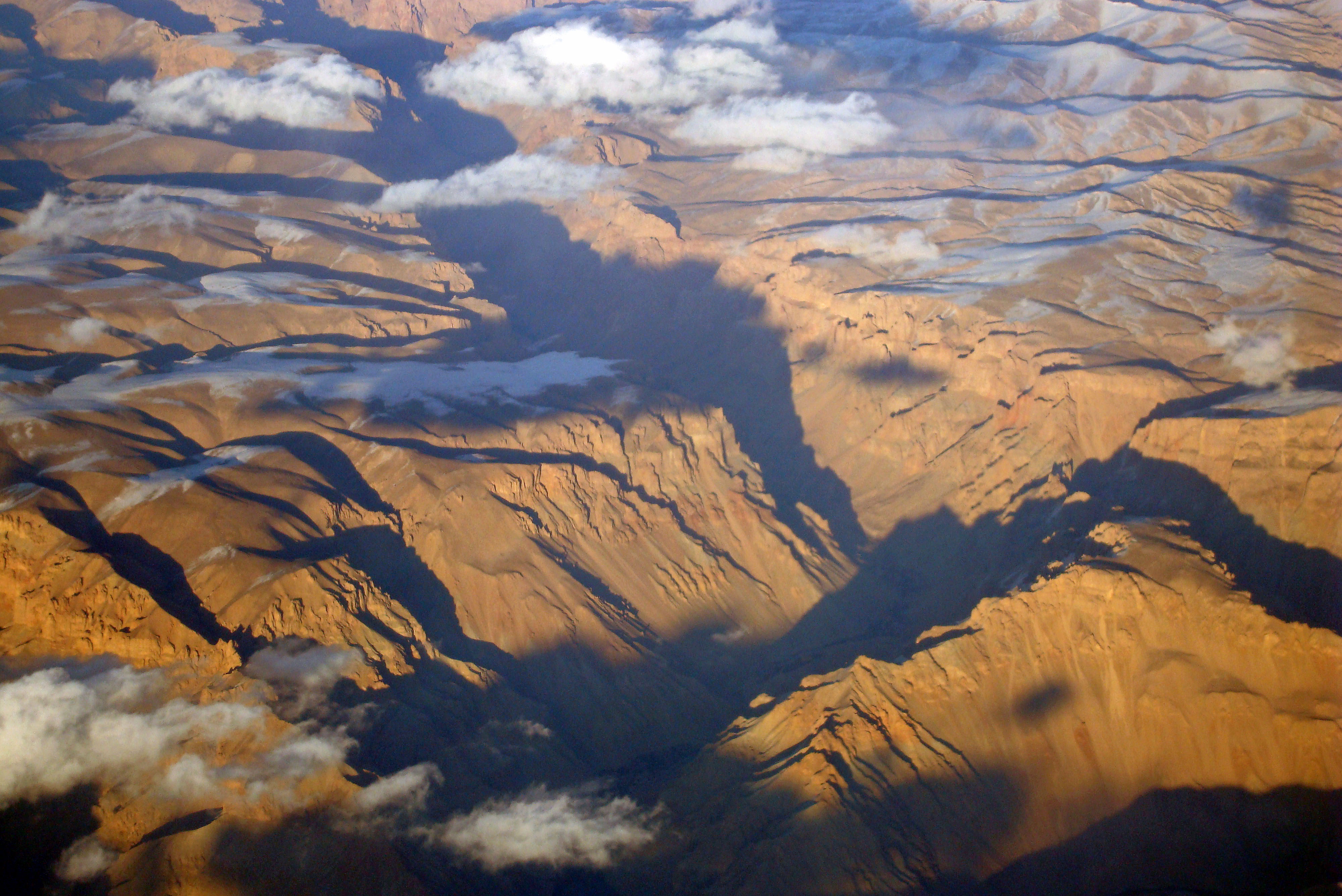
I am not 100% sure, but I think that this might have been part of the Band-e Amir National Park, which has been described as Afghanistan’s Grand Canyon.
One day, I am sure, peace will return to this nation and millions of tourists will visit these stunning places.

Leave a comment